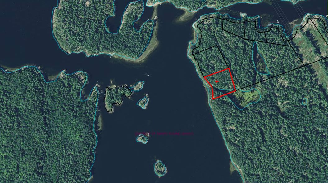
L-651 aerial map Posted on January 17, 2015January 17, 2015 by Michael Gerhardt ← Previous Next → Aerial map of property and Horseshoe Bay of French River